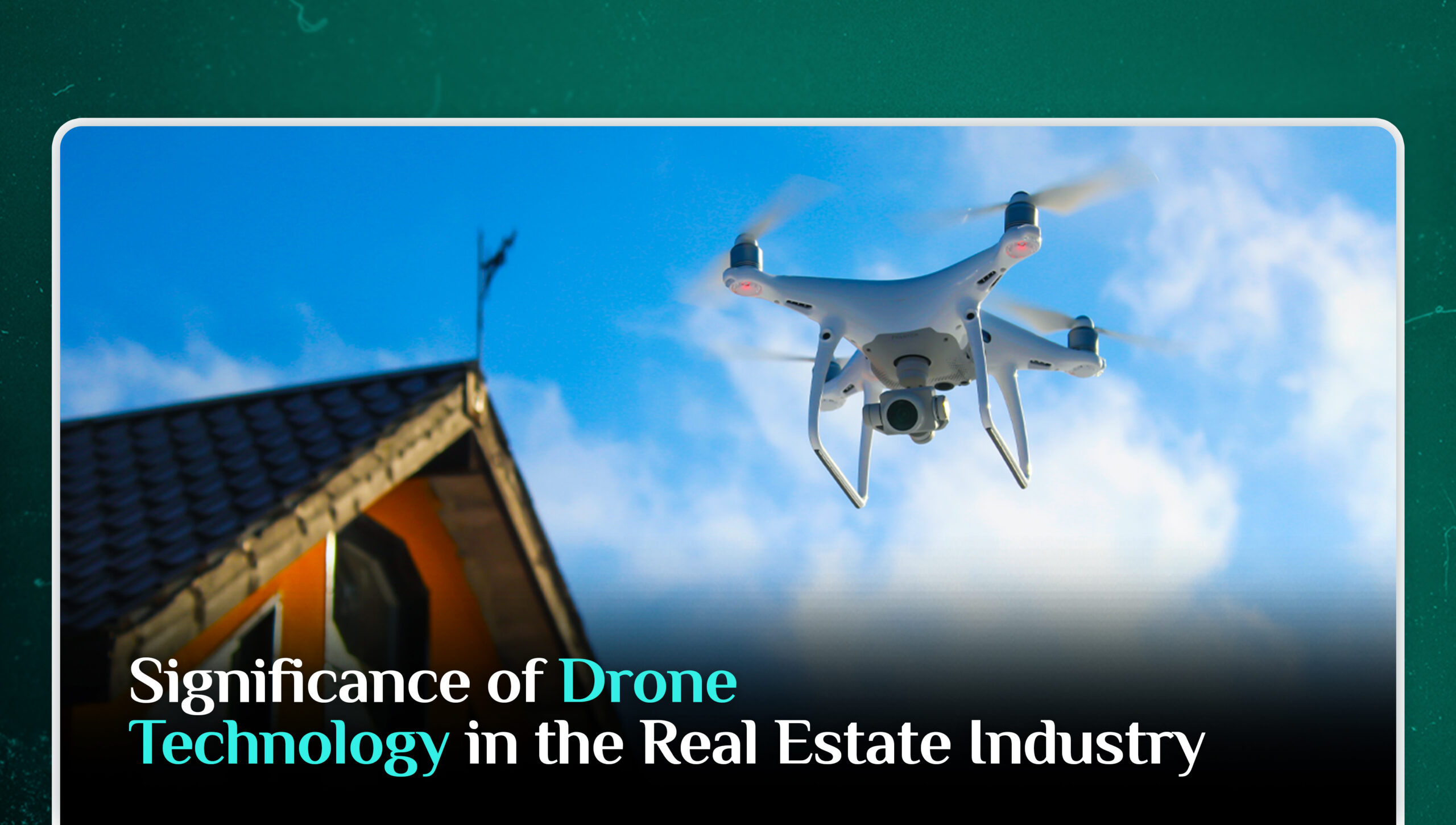
Technology has sparked several inventions and developments by providing access to unimaginable ideas. One such development that substantially altered the marketing environment across various industries is drone technology. The real estate industry has progressively begun utilising this technology due to the rise of artificial intelligence and marketing automation solutions. These unmanned aerial vehicles (UAVs), have completely changed how real estate professionals conduct business. For instance, aerial photography was typically obtained through extremely expensive flights in aircraft and helicopters. However, drones have lowered the cost of aerial photography and maximised marketing efficacy. Moreover, they can be used for a variety of purposes, from expediting property inspections to increasing marketing initiatives. The use of drones has been one of the turning points in the real estate industry. It has unlocked various benefits that help the sector thrive by allowing potential buyers to obtain a 360-degree perspective of the property.
What are the Benefits?
High-Quality Images and Videos
Drones built with high-resolution cameras enable real estate brokers and property developers to shoot high-definition aerial images and videos. These images offer an innovative viewpoint on the property’s characteristics, surroundings, and overall appeal. Also, aerial imagery attracts potential buyers and provides them with a thorough perspective of the property, raising engagement and interest substantially.
Aids in Marketing
Real estate professionals can develop attractive advertising materials using drone technology. Aerial images can be used in virtual tours, property listings, and promotional videos to provide an enhanced sense of immersion and a realistic experience for potential buyers. The usage of drones distinguishes properties from the competition, allowing them to stand out in a saturated market.
Effective Property Inspections
Drones make property inspections more cost-effective and efficient. They are able to access difficult-to-reach regions including rooftops, chimneys, and building facades without the use of ladders or scaffolding. Drones enable inspectors to correctly identify potential faults or maintenance requirements by recording detailed photos and videos. This speeds up the inspection process while also lowering expenses and ensuring complete assessments.
Remote Property Surveys
Drones installed with powerful sensors and mapping software can conduct precise and effective property surveys. These surveys provide useful information on land boundaries, topography, and potential development areas. Based on the acquired data, real estate developers can make informed judgements, decreasing the need for manual surveys and minimising human error.
Generates New Business
The ability to produce and generate additional business is an essential indicator of any industry, large or small. This can be heavily incorporated with the use of drones, which are mostly linked to the real estate industry. A virtual tour is one technique to track real estate business. As it is incredibly enticing, it increases client engagement to a higher extent. UAVs, with their aerial imagery and mapping, also enable clients to have a good sense of the surroundings of the listings and make informed decisions. The thought of doing business with drone photography excites people enough to want to experience it themselves.
Speeds up the Process
Drones speed up processes at a much faster rate than buyers buy. By speeding up the entire sales process for both commercial and residential properties, technology is now saving agencies money. Camera and remote-imaging drones make escrow tasks like property assessments, building inspections, and property line paperwork more efficient and thorough. Contractors are employing drones for roof inspections, thermal roof surveys, other outdoor surveys, and even certain internal inspections, among other things.
What are the Drawbacks?
Regulatory Constraints
The use of drones in real estate is subject to aviation authorities’ regulatory restrictions. These rules address issues such as flight altitude limits, line-of-sight requirements, and privacy concerns. Compliance with these requirements, as well as getting the relevant permits, can be a complicated and time-consuming process.
Technical Problems
Drones have technical constraints in terms of battery life, flight range, and cargo capacity. These constraints can have an impact on the amount of time and area covered during aerial photography or inspections. Real estate professionals must properly plan and manage expectations accordingly when using drones.
Weather Dependence
Drone operations are heavily reliant on the weather. Drone flights can be limited or even prohibited by rain, strong gusts, or bad weather. This can delay the capture of aerial photos or the completion of property inspections, compromising project timetables and potentially disrupting marketing activities.
Skill and Training Needs
Effectively operating a drone necessitates a certain level of talent and competence. Real estate agents that want to employ drones must invest time and money in completing the proper training such as flight operation, safety procedure, and navigation, or hiring qualified drone operators. Failure to do so may result in accidents, property damage, or legal concerns.
Cybersecurity
Drones, like any other connected equipment, are vulnerable to hacking and data breaches, which might jeopardise the integrity and security of survey data.
Intellectual Property Theft and Espionage
Drones can be used for industrial espionage, in which competitors spy on each other’s businesses and steal intellectual property. As a result, strict security measures must be put in place to prevent such activities.
What is the Future of Drone Technology in the Real Estate Industry?
The future of drone technology in real estate contains enormous possibilities for additional innovation and advancement. As technology advances, we may expect drones to become smarter, more efficient, and more versatile in meeting the needs of the real estate business. Artificial intelligence and machine learning advancements will almost certainly improve autonomous flight capabilities, allowing drones to navigate complicated settings with better precision and safety. Furthermore, advancements in battery life and flight range will allow for longer flights, broadening the breadth and size of aerial photography, inspections, and surveys. We may expect drones to be seamlessly incorporated into the real estate process in the near future, offering real-time data, powerful analytics, and interactive experiences that will revolutionise the way properties are sold, constructed, and managed. The future of drone technology in real estate promises to open up new opportunities and efficiencies, moving the industry forward and further.
Conclusion
Drones have become a vital tool in the real estate sector, offering a plethora of advantages and better marketing efforts. They provide fresh perspectives, increased productivity, and cost savings. However, it is critical to understand the legislative constraints and technical limitations of drone technology. Real estate professionals may harness the full potential of drones and exploit their skills to obtain a competitive edge in the market by recognising and navigating these challenges.
This article is written by Haneen Gul. Haneen is a Research Analyst at the Iqbal Institute of Policy Studies (IIPS).
Leave a Reply