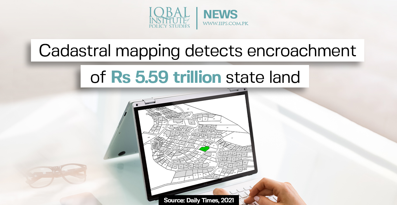
Prime Minister Imran Khan has recently launched a digital cadastral map to curb land tempering, monitoring of illegal construction on government lands, and provide a land registry database. The first phase of cadastral mapping has detected encroachment of land worth Rs 5.5 trillion. The land encroached in three major cities (Karachi, Lahore, and Islamabad) alone was valued at Rs 2.63 trillion and the value of encroached forest land was Rs 1.86 trillion.
Land-grabbing mafias in the country are making massive amounts of money through illegal activities in the real estate sector. Almost Rs 400 billion worth of land has been illegally occupied in Islamabad. In Punjab and KP, around 160,000 acres of public or state land has been encroached upon, worth Rs500 billion. The Lohi Behr Forest area lying at the border of Rawalpindi and Islamabad had over 57 percent (629 acres) of its total area of 1,089 acres encroached by land mafias. More than 5,000 acres of Pakistan Railways (PR) land is also under encroachment in Sindh.
To defeat the practice of land encroachment, PM Imran Khan included a new category in the Pakistan Citizen Portal (PCP) app to receive and pursue complaints related to land grabbing. It will enable people to blow the whistle on encroached state land. Before this initiative, people had to take the route of courts for lodging the complaints and had to wait for a long duration for the adjudication.


Leave a Reply