Introduction
When it comes to buying, selling, or investing in real estate, location matters. The site and proximity of any plot of land can significantly increase or decrease its overall value in terms of future development. So far, the real estate sector has used in-person interactions for potential buyers and investors to close a sale. Not only does this make the process slow and cumbersome, but agents and clients also must align their schedules and travel great distances for the activity. Recent developments in Proptech have significantly changed the realty sector. Interactive digital mapping has allowed people to view the location and the locality of any plot of land in real-time. This can open massive opportunities for individuals, businesses, and urban planners to find suitable land, analyse building sites, and make more informed decisions. As the full potential of digital mapping technologies is realised, the real estate market will improve in efficiency and drive down the cost of transactions. Continue reading to understand digital mapping and its potential in the real estate sector.
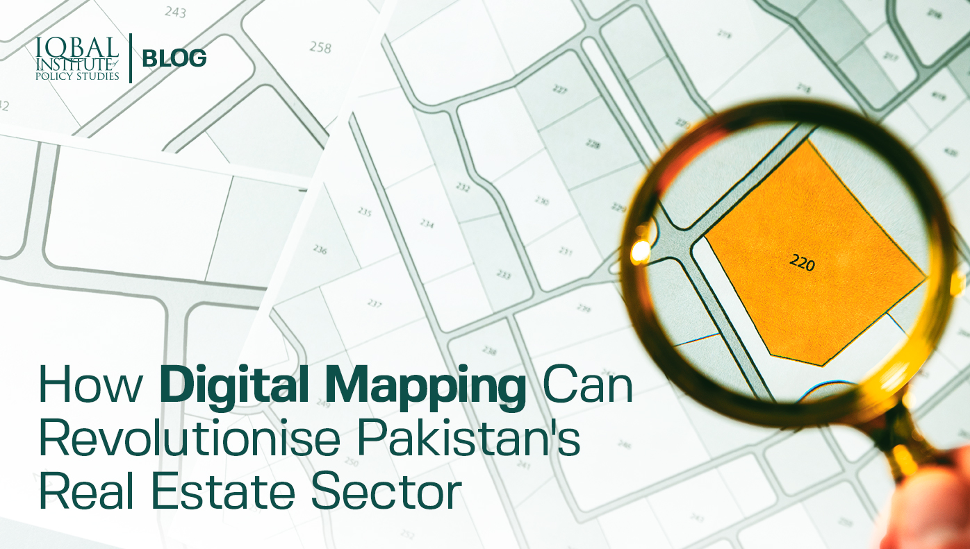
Digital Mapping of Land
A thorough understanding of land and its attributes is considered a prerequisite for business in the real estate sector. Successful real estate companies also realise the importance of detail and insight. The global digital map market is estimated to reach USD 8.76 billion by 2025 (M. I. ). But most real estate professionals have a very rudimentary understanding of digital mapping systems. Digital mapping is the process of forming a virtual image of a map that combines data from multiple resources. These maps are similar to maps printed on paper, except that they can be constantly updated, added information to, and integrated with other useful technologies.
Digital mapping technologies use Geographical Information Systems (GIS) that are designed to store, capture, manipulate, analyse, manage, and present all types of geographical data. The data used is spatial, which means that it is referenced to real-life locations on earth (Wisconsin University). Numerous layers of additional data are layered upon a base map to make it useful for a wide range of purposes. With this ability, GIS systems can reveal deeper insights into location data, find patterns, establish relationships, and help make users make smarter decisions while planning (esri, 2021). The technology can make maps communicate and perform analysis according to multiple filters. The system can be used to identify problems, monitor change, perform forecasting, and understand trends. Applications of GIS systems are not restricted to any one field. Rather, industries from all sectors use the functionality in different ways to enhance their products and customer experience.
How can the Real Estate Sector Benefit from Digital Mapping of Lands?
The use of digital mapping can enhance the productivity and efficiency of the real estate sector. By analysing location data, data-driven decisions can be taken that maximise site selection, enhance marketing audience, and enable efficient and secure land management. Digital maps can also be used to identify market opportunities that can be capitalised at the right time. As mapping data can be linked to land titles and other governmental and financial institutions, the real estate sector can use it to create a virtual land title database. Due to lack of such a database in Pakistan, many issues related to land grabbing and ownership have flooded the courts. The software can also be used to create beautiful visualisations, infographics, reports, and interactive websites that greatly enhance customer experience and generate more sales. Moreover, the geospatial mapping of data can allow multiple sectors to collaborate while making decisions such as agriculture, industry, and the services sector.
The current format of property listings used by many websites can be improved using digital mapping. Imagine seeing a single map with the capability of showing videos, pictures, and slideshows right on the map. The aspect of spatial sense cannot be achieved in the traditional listing model. Areas can be highlighted for targeted analytics and special filters can be used to highlight certain aspects directly on the map. A person requiring a house with close commercial areas will otherwise be bombarded with listing options that become difficult to compare due to differing locations. But seeing all these areas on the map in realtime can help a customer reason in additional factors for better decision making (Mapbox). Now consider integrating weather data, air pollution index, and multiple other indicators with the same map. The opportunities can become endless.
One of the most significant use cases of GIS based land mapping can be securing of land titles to geospatial data (Rodriguez). Banks and financial institutions in the developed world heavily rely on mapping data for risk assessment and credit approvals. Pakistan’s real estate sector lacks proper documentation of land records. The problem exists because land registries are still maintained in manual registers that are prone to tampering and damage over time. In many cases, multiple people lay claim to a single piece of land and there is no system which can provide a way for dispute settlement in such instances. Therefore, a system that digitally maps every piece of land to its rightful owner can bring the much-needed transparency that this sector lacks. It can also streamline dispute settlement in courts and increase investor confidence in the real estate market of Pakistan. Companies like Graana.com, Pakistan’s smartest property portal, have decided to tackle this problem by implementing digital mapping of Pakistan’s major cities. The process can greatly improve the quality of real estate products offered on multiple platforms, while also helping Pakistan revolutionise its real estate sector.
Conclusion
Geographic information systems (GIS) combine computer graphics technology with database structures and techniques of spatial analysis. The technology is growing rapidly as cities and counties have begun to investigate GIS as a solution to their information processing problems. The system provides its users with the ability to make better real estate analyses, maintain a secure land ownership record, and bring transparency and accessibility to the real estate market. Companies like Graana.com are becoming the pioneers of real estate technology in Pakistan, and it is hoped that the technology will soon revolutionise the real estate sector.
Bibliography
esri. (2021). What is GIS? Retrieved from https://www.esri.com/en-us/what-is-gis/overview
M. I. . (2018). Digital Map Market to Grow Rapidly due to Increasing Innovative Technology Adoption in Surveying & Making Maps Till 2025 | Million Insights. Retrieved from Million Insights: https://www.prnewswire.com/news-releases/digital-map-market-to-grow-rapidly-due-to-increasing-innovative-technology-adoption-in-surveying-amp-making-maps-till-2025-million-insights-824119611.html
Mapbox. (2021). Real Estate. Retrieved from https://www.mapbox.com/industries/real-estate
Rodriguez, M. (1994). Using Geographic Information Systems to Improve Real Estate Analysis.
Wisconsin University. (2021). Mapping and Geographic Information Systems (GIS) : What is GIS? Retrieved from https://researchguides.library.wisc.edu/GIS
Research Questions
1. What is the concept of digital mapping and its purpose?
2. How can the real estate sector benefit from digital mapping of lands?
[/fancy_box][fancy_box box_style=”color_box_basic” icon_family=”fontawesome” image_url=”7085″ box_color_opacity=”1″ box_alignment=”left” border_radius=”default” image_loading=”default” icon_fontawesome=”fa fa-envelope-open” icon_size=”60″]
Key Takeaways
1. The site and proximity of any plot of land can significantly increase or decrease its overall value in terms of future development.
2. Interactive digital mapping has allowed people to view the location and the locality of any plot of land in realtime.
3. As the full potential of digital mapping technologies is realised, the real estate market will improve in efficiency and drive down the cost of transactions.
4. The global digital map market is estimated to reach USD 8.76 billion by 2025.
5. Digital mapping is the process of forming a virtual image of a map that combines data from multiple resources.
6. The use of digital mapping can enhance the productivity and efficiency of the real estate sector.
7. By analysing location data, data-driven decisions can be taken that maximise site selection, enhance marketing audience, and enable efficient and secure land management.
8. Digital maps can also be used to identify market opportunities that can be capitalised at the right time.
9. As mapping data can be linked to land titles and other governmental and financial institutions, the real estate sector can use it to create a virtual land title database.
[/fancy_box]
Leave a Reply