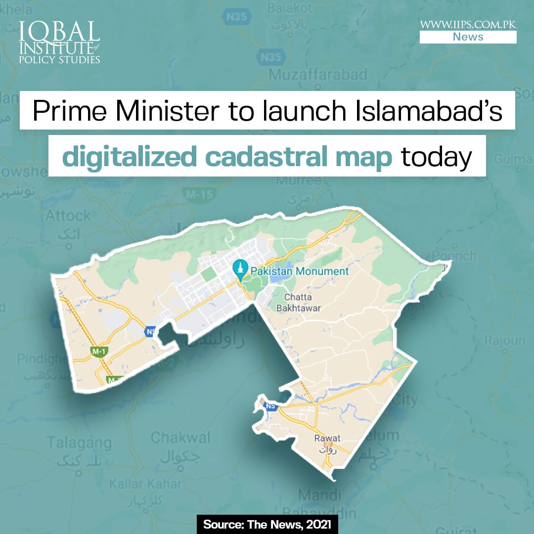
The Prime Minister launched the first digital cadastral map of Islamabad to prevent the disruption of land records, and provide information on land ownership on a single digitized platform. The launch of this digital all-encompassing cadastral map is in line with the premier’s vision of modernizing the old Patwar system into a holistic digitized cadastral map.
The project was designated to the Survey of Pakistan, which is the sole national mapping and land surveying government agency of Pakistan. Phase 1 of the digital mapping project includes the digitization of revenue records of three major cities including Karachi, Lahore, and Islamabad.
Under phase 1 of the project, the Survey of Pakistan has completed the digitization of the federal capital by using the Geographical Information System (GIS). The organization has digitized a total area of 943 sq km which includes 400 sq km under CDA and 543 sq km under Islamabad Capital Territory (ICT).
Leave a Reply