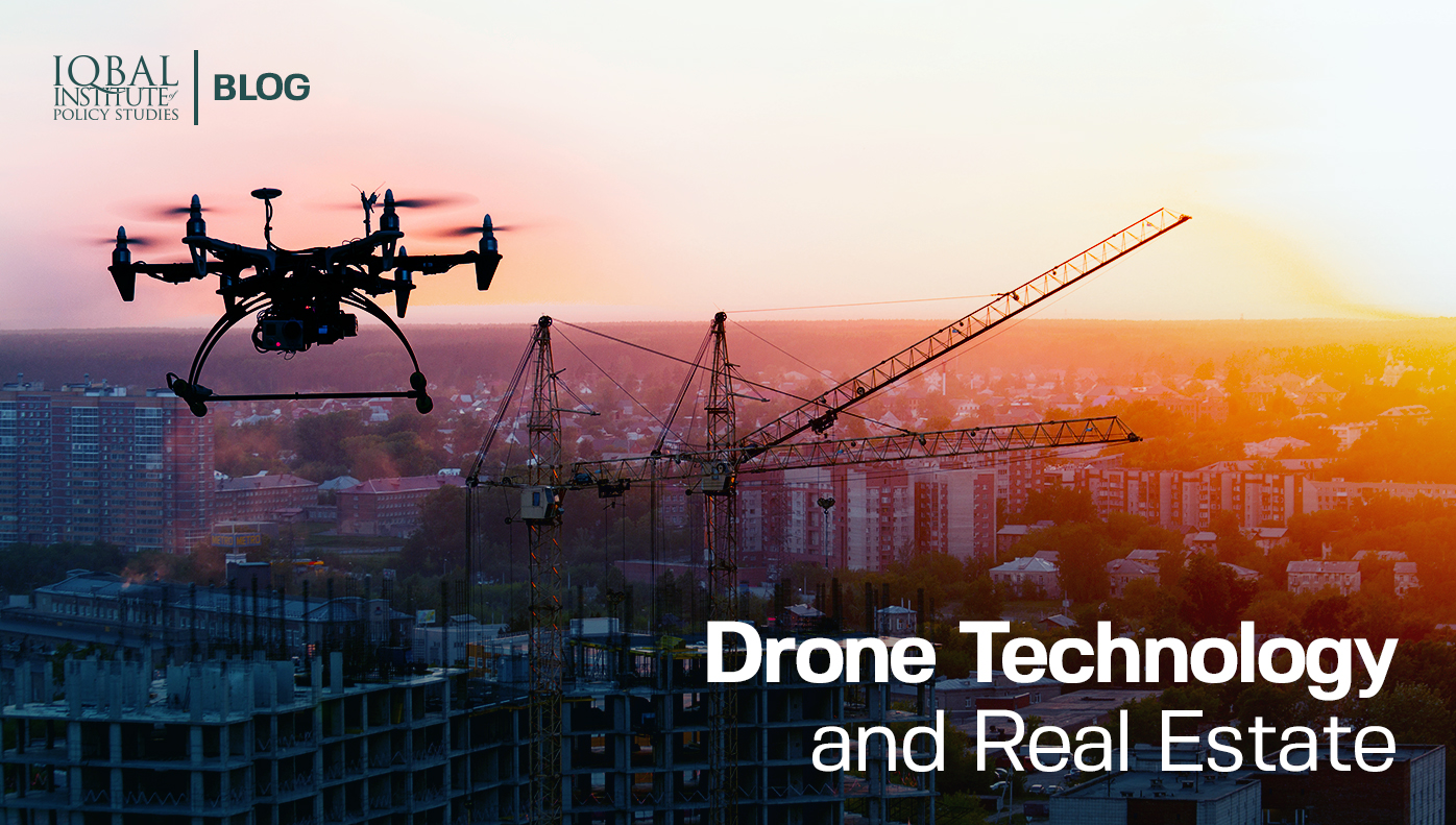
Introduction
Any piece of land, be it commercial or residential, is only as valuable as its successful marketing. But real estate is not restricted to only residential or commercial properties, rather it includes all that is connected to lands such as agriculture, forestry, and water bodies. Keeping in mind the broad aspects of real estate, technological innovations like unmanned aircraft systems (UAS), better known as drones, are radically evolving business and development processes in the sector. Although the technology has been around for several years, recent developments have made its use in the real estate sector more feasible. In its early years, drone technology was expensive and not widely available in all markets. Sensor capabilities and flight balancing also remained a key issue as most drones were not portable and required sufficient skill on part of the driver. But advancements in technology have allowed for better sensors, agile flight capabilities, and availability worldwide. Therefore, it becomes inevitable that drone technology will be used in real estate and its allied sectors. Continue reading to get a better understanding of drone technology and its use in the real estate sector.
Understanding Drone Technology
Although man created aeroplanes and rocket systems for flight, both these options are not feasible when it comes to lighter use purposes such as aerial view, surveillance, and photography etc. With the advent of unmanned aircraft systems (UAS), which are flying robots that have multiple sensors and onboard computers that allow for a remote experience, it has become possible to attain flight in a safer and cheaper manner. Drones were initially developed for military purposes of surveillance, anti-aircraft target practice, and as weapons systems. But the technology has now become more common and is widely available in the consumer market as well. Widespread drone use became popular in 2006 when the US border customs patrol agency used the technology to monitor border movements (TechTarget, 2021). Now, the technology has a host of different applications such as law enforcement, land surveillance, wildlife tracking, search and rescue operations, disaster response, and recreational purposes (NCSL, 2021).
Unmanned aircraft systems (UAS) cover everything from the aerodynamics of the drone, materials, circuit boards, sensors, chipsets, and software. Drones are usually made of light composite materials which allow them to take flight at extremely high altitudes. They are also equipped with state-of-the-art technology such as infrared cameras, GPS navigation, lasers, mics, and territory mapping instruments (Corrigan, 2020). Larger drones are powered by mechanical engines, but smaller more commercial use drones are often battery-powered and have a limited range of a few kilometres. So far, businesses have used drones largely in video capture and photography, but applications from agriculture to logistics to real estate are increasing as drones are becoming a multipurpose tool that enhances human capabilities to operate in a variety of different environments. Continue reading to understand how drones are revolutionizing the real estate sector.
Drone Technology in Real Estate Sector
The use of drones can massively impact the real estate sector in establishing greater marketing techniques and providing services that map lands according to user titles. Real estate agents are constantly looking for new and improved methods to market their real estate properties. Previously, images of land could not capture the whole impact of a property’s surroundings and people were often left with images of horizontal grounds, or in some cases, images taken from atop mountains. That meant that people could only achieve a limited perspective of the overall potential of their property’s growth, while also enabling fraud and land manipulation in some cases. Drone technology has changed that as it allows investors and potential clients to have a larger and clearer view of their land and their prospective purchases. Often a home’s best feature is hidden from ground view. For example, if the home is at the edge of a cliff or has a green forest behind its back. Drones can be used to capture such scenarios. As drones also come in a wide variety of sizes, ranging from large to those that can fit into the palms of a human’s hand, they can also be used for indoor imaging of properties and give a walkaround perspective to the potential buyer (Housecall, 2019).
Another very interesting use case of drones is in the agriculture sector. Images captured from the drone along with living video feed can be paired with artificial intelligence to automate many different tasks in the farming process. This can also help farmers in identifying failing plants and take early action to save areas affected by weeds and other diseases. But a more interesting use case of drones can be to map farmlands and irrigation structures in order to achieve greater efficiency in the yield of each crop. Using this method, the farmer can determine areas for each crop and practice strip farming of crops. Strip farming utilizes land for two crops at a time. Another interesting feature practised around the world is that of placing seeds. Drones can also be equipped with additional equipment such as pesticide sprays and plant cutters. However, the possibilities in this regard can be left best to human imagination and innovation. Lastly, for farms with livestock, drones can become an effective way to manage cattle herds and other animals alike. As most young generations of farmers consider urban living superior to living in farmlands, drone technology can provide an impetus to agricultural growth (Uzialko, 2018).
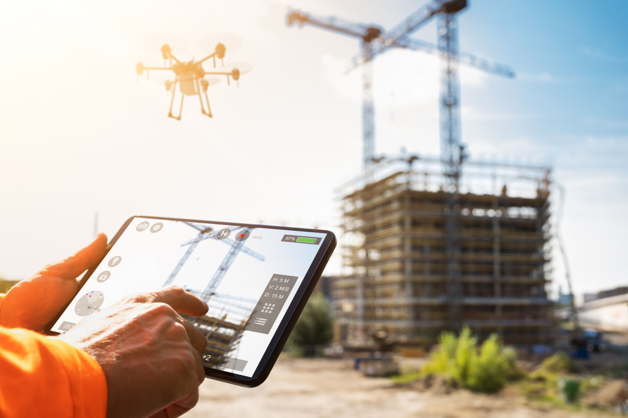
A significant impact will also be experienced on the construction sector. Architects can use 3D images of construction sites to design the building and understand the impact of that design with respect to the greater environment surrounding the building. Drones can also be helpful in the construction process as they can be used for a variety of tasks ranging from logistical handling of tools to supervision of workers. Drone-based delivery services are also becoming more common now. Companies like Amazon are now using drones to deliver products on rooftops, remote rural villages, and areas that have rough terrain. This means that markets that were previously closed to retailers can now be accessed easily. Lastly, drones are also being employed in emergency services, particularly when it comes to supplying medical items to war-torn areas and disaster-struck areas. Counterintuitively, they can be used to monitor the condition of people affected by a natural or environmental disaster.
Conclusion
Agile mobility is fast becoming a requirement for many businesses in the developing and developed world. Drones have now become a norm for establishing communication between areas that remained previously inaccessible due to limited access of roads and rough terrains. As the real estate sector is not just limited to urban residential or commercial property, one must also look at the combined benefits of drone technology in the agriculture and construction sector. Therefore, drone technology, although not well adopted in many parts of the developing world, can have a positive impact on the real estate sector.
Bibliography
Corrigan, F. (2020). How Do Drones Work And What Is Drone Technology. Retrieved from https://www.dronezon.com/learn-about-drones-quadcopters/what-is-drone-technology-or-how-does-drone-technology-work/
Housecall. (2019). 7 Ways to Use Drone Photography and Video to Sell a Home. Retrieved from http://blog.rismedia.com/2019/drone-photography-video-sell-home/
NCSL. (2021). Current Unmanned Aircraft State Law Landscape. Retrieved from https://www.ncsl.org/research/transportation/current-unmanned-aircraft-state-law-landscape.aspx
TechTarget. (2021). drone (UAV). Retrieved from https://internetofthingsagenda.techtarget.com/definition/drone#:~:text=Drones%20are%20more%20formally%20known%20as%20unmanned%20aerial,working%20in%20conjunction%20with%20onboard%20sensors%20and%20GPS.
Uzialko, A. (2018). 10 Cool Commercial Drone Uses Coming to a Sky Near You. Retrieved from Business News Daily : https://www.businessnewsdaily.com/9276-commercial-drones-business-uses.html
Research Questions
1. What is drone technology and its use?
2. How is real estate benefitting from drone technology?
[/fancy_box][fancy_box box_style=”color_box_basic” icon_family=”fontawesome” image_url=”7085″ box_color_opacity=”1″ box_alignment=”left” border_radius=”default” image_loading=”lazy-load” icon_fontawesome=”fa fa-envelope-open” icon_size=”60″]
Key Takeaways
1. Keeping in mind the broad aspects of real estate, technological innovations like unmanned aircraft systems (UAS), or better known as drones, are radically evolving business and development processes in the sector.
2. Advancements in technology have allowed for better sensors, agile flight capabilities, and the wide availability of drone technology worldwide.
3. Drones were initially developed for military purposes of surveillance, anti-aircraft target practice, and weapons systems. But the technology has now become more common and is widely available in the consumer market as well.
4. Drones are equipped with state-of-the-art technology such as infrared cameras, GPS navigation, lasers, mics, and territory mapping instruments.
5. The use of drones can massively impact the real estate sector in establishing greater marketing techniques and providing services that map lands according to user titles.
[/fancy_box]
Leave a Reply