
Pakistan’s cultural heritage is an invaluable testament to the nation’s historical richness, spanning civilizations, dynasties, and artistic traditions. As custodians of this legacy, there arises a dual responsibility: to celebrate the diverse tapestry of the past and to ensure its preservation for the generations to come. In this context, the marriage of cultural conservation with cutting-edge technology, particularly geo-spatial mapping, emerges as a crucial strategy in safeguarding Pakistan’s cultural heritage.
The Significance of Cultural Heritage
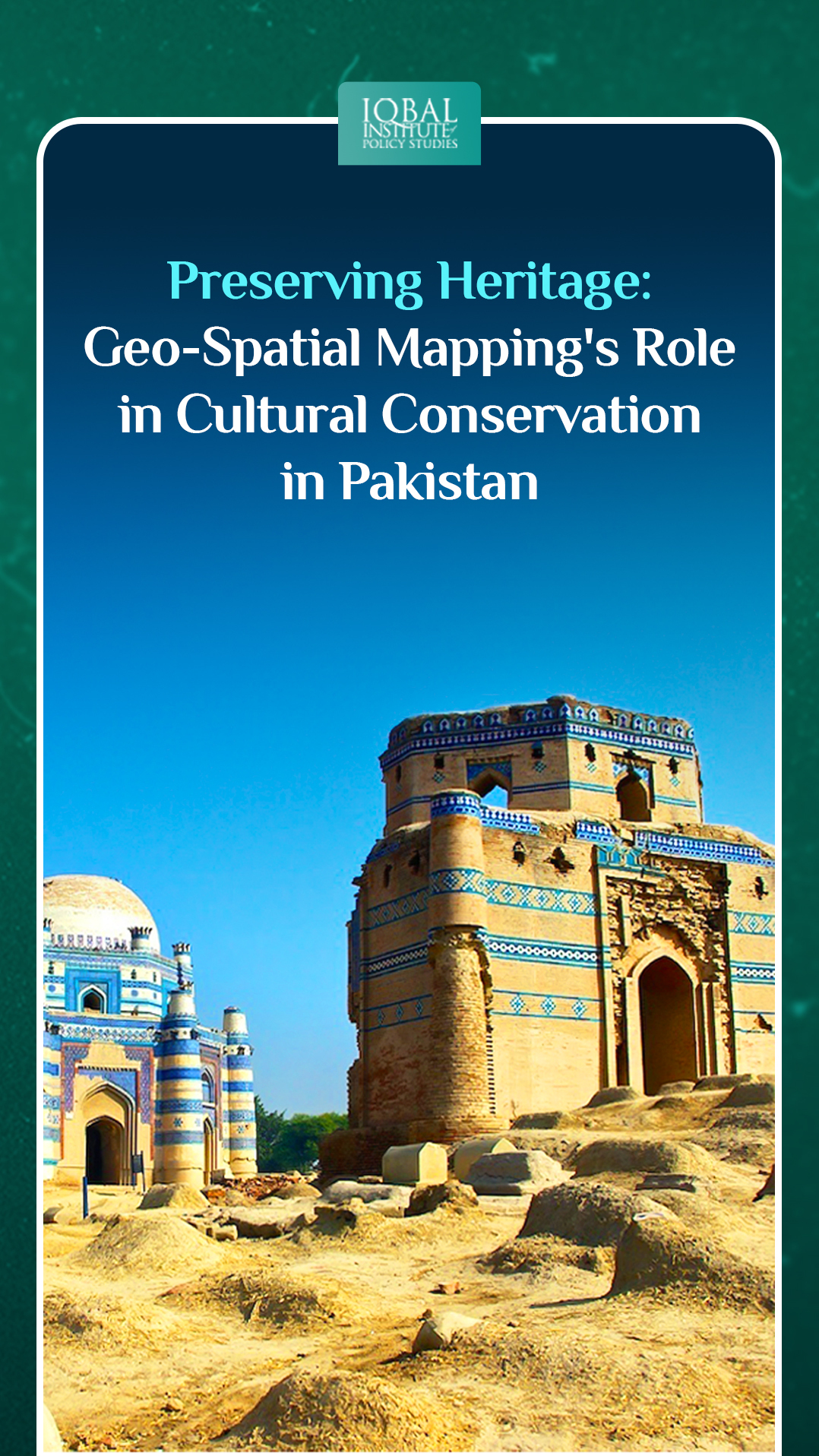
Cultural heritage, a composite of tangible and intangible elements, reflects the soul of a society. In Pakistan, it encompasses archaeological wonders like Mohenjo-Daro, architectural marvels from the Mughal era, traditional art forms, and the myriad of linguistic and religious practices. The preservation of this heritage is not just an aesthetic pursuit; it is a means of fostering national identity, promoting tourism, and contributing to a global appreciation of humanity’s shared history.
The Threats to Cultural Heritage in Pakistan
The cultural heritage of Pakistan faces a myriad of threats that span both natural and human-induced causes, presenting a complex challenge for conservationists. One of the primary adversaries is rapid and unregulated urbanization, driven by population growth and urban expansion. Historical sites often find themselves at the nexus of urban development, leading to encroachment, infrastructure projects, and a loss of historical authenticity. Climate change exacerbates these challenges, with rising temperatures, shifting precipitation patterns, and extreme weather events posing a significant risk. Floods, earthquakes, and other natural disasters have the potential to wreak havoc on delicate archaeological structures and ancient monuments. Moreover, intentional acts of destruction, whether through vandalism or acts of terrorism, cast a looming shadow over the nation’s cultural identity. These deliberate assaults not only result in immediate physical damage but also erode the collective memory and cultural continuity that these sites represent. The intersection of these threats necessitates innovative and holistic approaches, with geo-spatial mapping emerging as a crucial ally in the ongoing battle to safeguard Pakistan’s rich cultural heritage.
Geo-Spatial Mapping: A Technological Guardian
Geo-spatial mapping, an integration of geographical data into digital maps, stands at the forefront of technological innovations aimed at cultural conservation. Its applications are diverse and dynamic, offering solutions to challenges posed by time and human activities.
Documentation and Inventory
Geo-spatial mapping facilitates meticulous documentation of cultural assets. Utilizing high-resolution satellite imagery, aerial surveys, and ground-based mapping techniques, every intricate detail of a heritage site can be captured. The result is a comprehensive inventory that becomes an invaluable resource for researchers, historians, and policymakers.
Risk Assessment and Monitoring
Real-time monitoring is a distinctive feature of geo-spatial mapping. By providing continuous data on factors such as ground movement and climatic changes, this technology enables the early identification of potential threats. Timely detection allows for proactive measures to be implemented, mitigating risks before irreversible damage occurs.
Conservation Planning
Geo-spatial mapping aids in the formulation of precise conservation strategies. Creating 3D models of heritage sites allows conservationists to simulate the impact of various interventions. This not only enhances the decision-making process but also assists in choosing the most effective and least intrusive methods for preservation.
Public Awareness and Education
Beyond its technical applications, geo-spatial mapping serves as a powerful tool for public engagement. Interactive maps and virtual tours, created through this technology, provide a medium for the public to explore historical sites remotely. This not only raises awareness about the importance of cultural heritage but also fosters a sense of ownership and responsibility among the citizenry.
Case Studies
To illustrate the practical applications of geo-spatial mapping, examining specific case studies is essential. For instance, the ongoing efforts to document and preserve Mohenjo-Daro, one of the world’s oldest urban centers, showcases the tangible benefits of employing geo-spatial mapping in safeguarding irreplaceable cultural assets.
Challenges and Future Prospects
Despite the remarkable strides made in leveraging geo-spatial mapping for cultural conservation in Pakistan, several challenges persist on the horizon. Chief among these challenges is the allocation of sufficient financial resources. Implementing and sustaining geo-spatial mapping initiatives demand substantial investments in technology, skilled personnel, and ongoing maintenance. Moreover, accessibility to advanced mapping technologies in remote or marginalized areas remains a hurdle, hindering comprehensive coverage and leaving certain heritage sites vulnerable to neglect. Data security is another critical concern, as the digital nature of geo-spatial mapping raises questions about the protection of sensitive information and the potential misuse of collected data. Overcoming these challenges requires collaborative efforts between government agencies, private sectors, and international organizations, emphasizing the importance of prioritizing cultural conservation in national agendas.
Looking toward the future, there are promising prospects for the continued integration of geo-spatial mapping into cultural preservation strategies. Advancements in technology, including the development of more cost-effective mapping tools and increased accessibility to high-resolution satellite imagery, hold the potential to address financial constraints and broaden the reach of mapping initiatives. Furthermore, ongoing collaborations between governmental bodies, non-profit organizations, and technology companies offer a pathway for sharing expertise, resources, and best practices. The evolution of open-source mapping platforms and community-driven initiatives can democratize access to mapping tools, fostering a bottom-up approach to cultural conservation. As public awareness grows and appreciation for the value of cultural heritage deepens, there is potential for increased advocacy and support, leading to more comprehensive policies and strategies for the sustainable preservation of Pakistan’s diverse cultural legacy. In essence, the challenges faced today become stepping stones for a future where geo-spatial mapping stands as an even more potent guardian of Pakistan’s cultural heritage, ensuring that the stories of the past echo vibrantly into the future.
Conclusion
In the intricate dance between tradition and progress, geo-spatial mapping emerges not merely as a tool but as a guardian of the past. It is the key to unlocking the mysteries of historical treasures, ensuring their survival in the face of contemporary challenges. By integrating geo-spatial mapping into cultural conservation strategies, Pakistan can not only celebrate its rich heritage but also provide a blueprint for other nations facing similar challenges. Geo-spatial mapping is not just a guardian of the past; it is the architect of a future where the echoes of history resonate vibrantly in the present and endure for generations to come.
This article is written by Radma Nouman. Radma is a research analyst at the Iqbal Institute of Policy Studies (IIPS).
Leave a Reply