Introduction
Urban economies contribute a significant percentage to the national GDP. In Pakistan, urban areas generate almost 55% of the country’s GDP, while hosting only 38% of Pakistan’s population. This shows that the cities play an integral role in the overall macroeconomy. Globally, cities that implement progressive master plans tend to generate trillions of dollars worth of revenue. A master plan is basically a long-term planning document that provides a conceptual layout to guide future growth and development between buildings, social settings, and development by connecting the local population, economy, housing, transportation, community facilities, and land use. Master plans are created based on public inputs, surveys, planning initiatives, existing development, physical characteristics, and other socio-economic conditions. Today, big data derived from digital means and other inputs that convey their insights through digital information are changing the dynamics of urban planning. This is leading to the development of conceptual master plans that aim to be more progressive and futuristic.
How Urban Planning can be Transformed Using Digitized Land Data
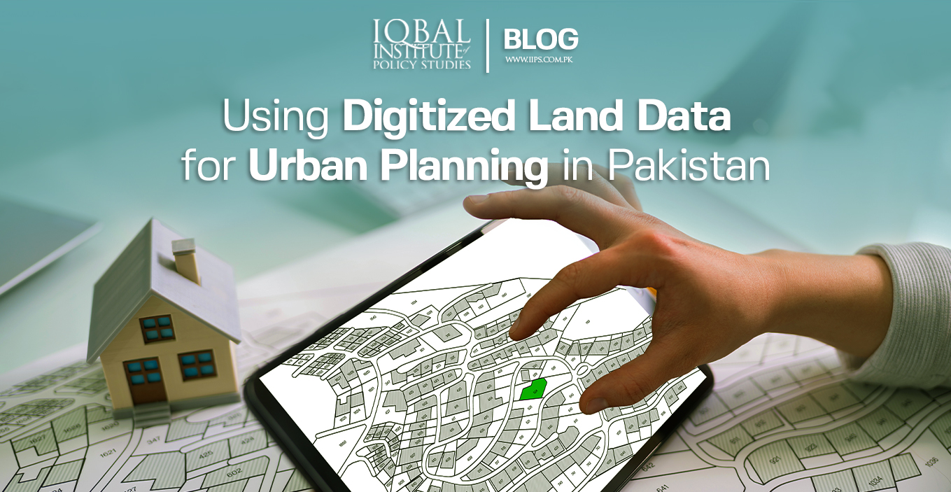
In Pakistan, data pertaining to land and property titles remain undigitized. This leads to massive challenges for people willing to invest in real estate. Digitization of land records can help increase value for landowners and empower women and low-income demographics to secure their ownership of land by making the process accessible and transparent. Digitization of land data can also help in alleviating malpractices in the real estate sector by ensuring that data is not tampered with.
 GIS
GIS
Geoinformation Systems is a technology that uses several types of integrated data to analyse and assess real-world geographical maps. GIS systems can play an integral role in the digitisation of land records by using several layers of data such as land use specifications, public land records, land evaluation maps, index maps, and land classification or zoning maps. Land titles and ownership records can also be integrated within already existing maps to become a central repository available to all the stakeholders on a single platform.
Spatial Data Banks
Spatial data consists of relative geographic information about the earth and its features. Currently, geospatial technologies are transforming the future of urban planning. From navigating public transportation to tracking supply chain and efficient delivery routes, spatial data banks are used to create a comprehensive approach to national geospatial information management to implement evidence-based solutions to social, economic, and environmental challenges, especially in remote areas. The benefits of using data to improve lives can extend across governments, businesses, and citizens, and from cities to villages.
 For instance, countries are integrating geospatial systems with disaster risk assessment systems to visualize and predict any potential disaster. The integrated systems are then used to guide emergency responses, shelter operations, and post-disaster restoration and monitoring. Spatial data banks can also be integrated with meteorological departments of the government to monitor sea and ground level rises and tectonic plate movements. They can also help precision agriculture by using detailed satellite position services. In other words, reliable geospatial data will also enable policymakers, and international organizations to gain better insights into the distribution of resources and help to optimize development planning and investments.
In Pakistan, high quality and timely geospatial information, although critical, is not often shared or integrated with other necessary data. Lower-and-middle-income countries lag in integrating quality geospatial data. Government organizations and policymakers need to integrate all the necessary data to reduce the geospatial digital divide.
From Master Plans to Conceptual Master Plans
Every city has a master plan which directs the future development of urban areas. An average building has a lifetime of 120-60 years which implies that a city must be planned on a futuristic and progressive basis. Today, urban planners and experts in the urban economy are integrating master plans with real-time data related to the population and economy of the given region. Master plans integrated with digitised spatial data will facilitate urban planners to foresee demographic growth and suggest development patterns suitable for the region. These conceptual master plans will also provide the best course of action for all development projects including health care facilities, transportation networks, commercial and residential areas, and agriculture development.

Way Forward
In Pakistan, there is an acute shortage of real-time demographic data that can be integrated with master plans to provide valuable insights into the future of those urban areas. PropSure digital solutions are the first institution in Pakistan that has managed to create the biggest spatial database for the real estate industry. Its database has more than 4 million verified properties with more than 50 attributes on each property. If such spatial databases are developed and integrated with the master plans of the city, policymakers and urban planners will have a clearer idea of future development.
Conclusion
There is a scarcity of real-time spatial data that can guide development in the real estate and overall urban sector of Pakistan. A lack of planning has impeded the growth of Pakistan’s urban areas and there is a need to update our master plans using digitized land data in the form of Geo-Information Systems (GIS) and spatial data banks. The integration of real-time digitized land data with the existing master plans will allow urban planners to make better and more informed decisions regarding the future of urban development in a given region.
Leave a Reply